
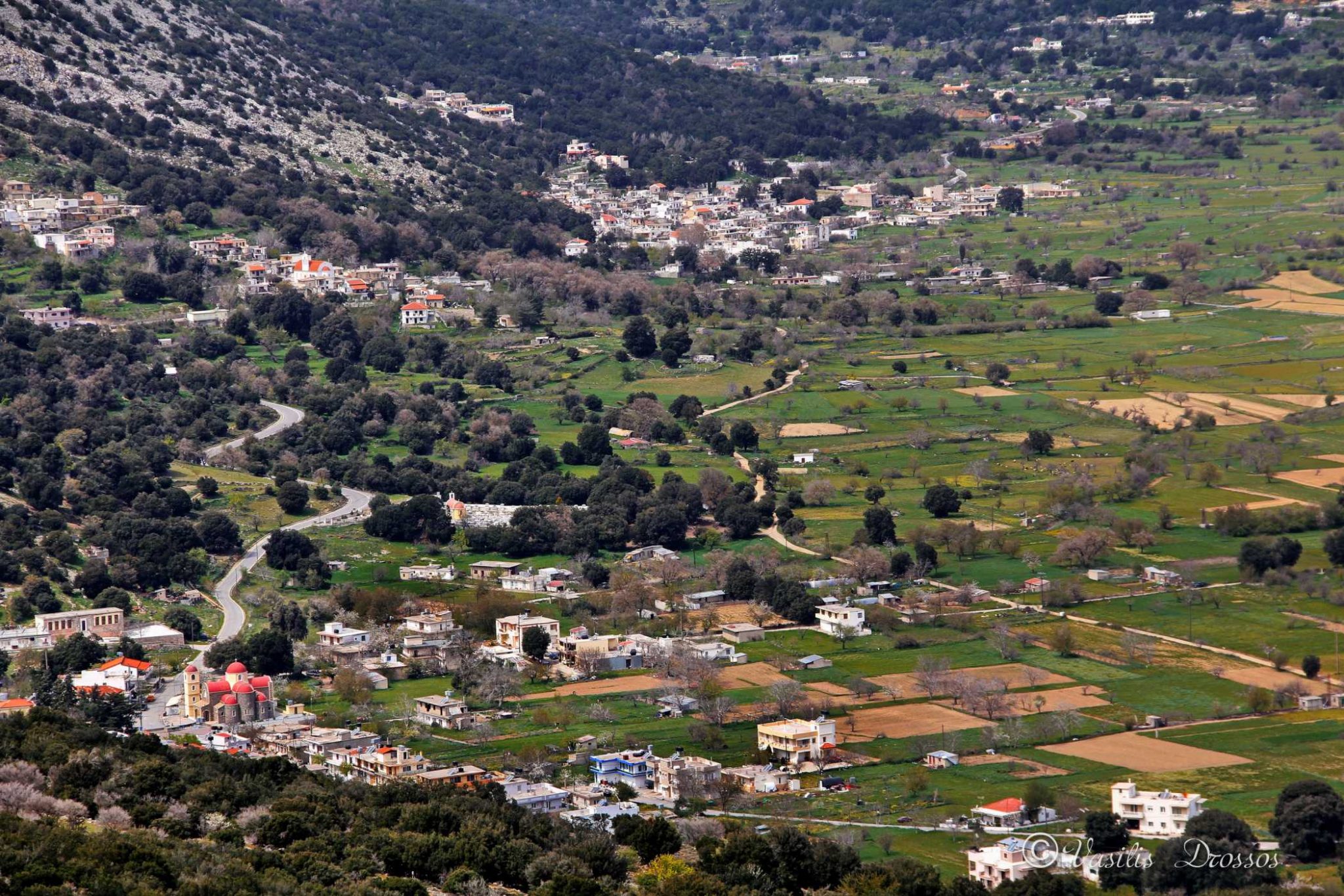
Kaminaki (Local Community of Kaminaki) belongs to the Municipality of Lasithi Plateau of the Regional Unit of Lasithi located in the Region of Crete, according to the administrative division of Greece as formed by the program “Kallikratis”.
Name and Historical Data
Its official name is “Kaminakion”. The seat of the Municipality is Tzermiadon and it belongs to the geographical division of Crete.
The exact origin of the name of the village has not been clarified yet. The most likely version is that it is due to a furnace or chimney of its first settler, called Fauro, which in Latin means blacksmith. At the beginning of the 16th century, there was the monastery of Agia Paraskevi in the village, which is assumed to have been on the site of the current church of the village. Southwest of Kaminaki is a small rural road that leads to the beautiful valley of Kloros.
Also, the road that is one of the three road entrances and exits of the Plateau passes through Kaminaki. It is a very nice route that splits into two roads, both of which end in the village of Embaros. One road passes through the small plateau of Erganos, then reaches the village of Katofigi, and ends in Embaros. The other road is purely rural and it also ends in Embaros.
Kaminaki was mentioned by the historian Castrofilaca (K104) as Mettocchio Caminachi del Fauro (= Mettocchio Caminachi of Fauro – Fabro = blacksmith). It was the “metochi” built by Fauro or Favro, like the metochi of Lagos, Tzermias, etc., or the blacksmith who was back then in Lasithi to fix the agricultural tools of the cultivators.
Residents were not mentioned, because at that time their stay in the “metochia” was seasonal, during the sowing and harvesting season. In 1630 it was mentioned by the historian Basilicata (Monuments of Cret. Hist. V, p.28) as Caminachi di Lassithi and in the Turkish census of 1671 as Kaminaki with 20 families (N. Stavrinidis, Translations B’, p.136). In 1834, in the Egyptian census it was listed as Kaminaki (Pashley, Travels in Crete, II, 321) with 30 Christian families.
During the administrative division of Greece with the “Kapodistrias” plan, until 2010, Kaminaki belonged to the Local District of Kaminaki, of the former Municipality of Lasithi Plateau of the Prefecture of Lasithi.
Kaminaki has an altitude of 856 m above sea level, latitude 35.154726675 and longitude 25.4651672685.
Population trend according to the censuses:
| Census | Population |
| 1881 | 314 |
| 1928 | 445 |
| 1940 | 512 |
| 1951 | 511 |
| 1961 | 479 |
| 1971 | 416 |
| 1981 | 423 |
| 1991 | 504 |
| 2001 | 343 |
