
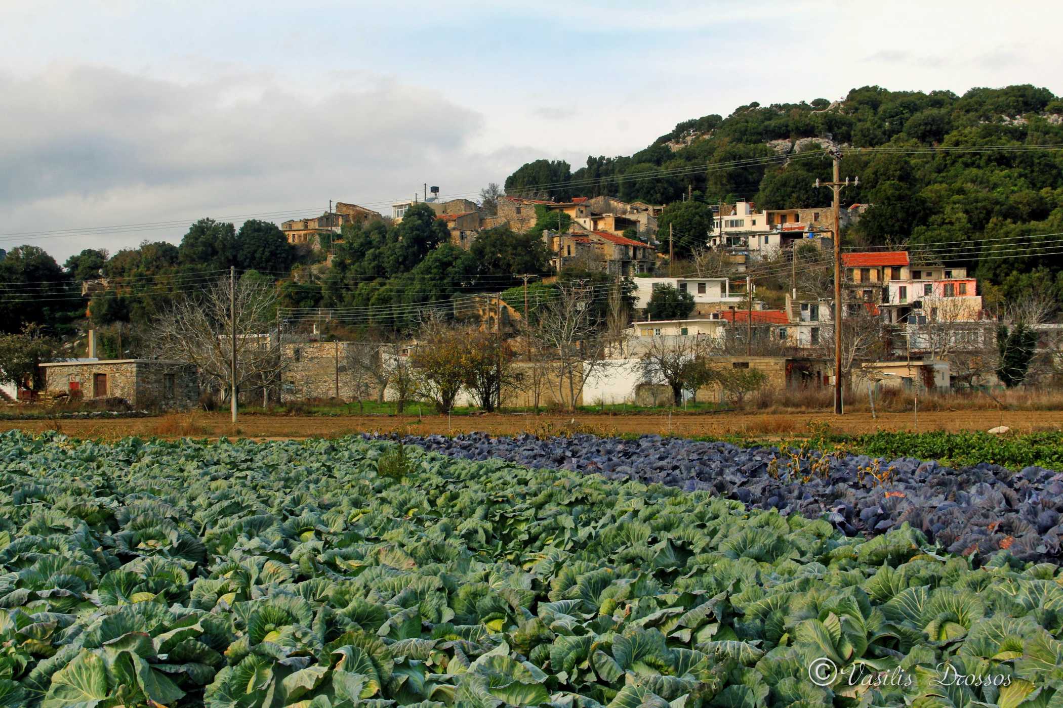
It is one of the newest villages of the Plateau and the first one we come across when descending from Seli Ambelou (turning left). It is located at an altitude of 850 m, it is 46.6 km far from Agios Nikolaos and 54.9 km far from Heraklion. It was not mentioned in the Venetian censuses of the 16th century, or in the Turkish census of 1671.
Name and Historical Data
It was first mentioned in the Egyptian census of 1834 as Lagu with Pinakiano with 20 Christian families (Pashley, Travels in Crete, II, 322). In the 1881 census, Pinakiano and Lagou were located in the Municipality of Tzermiadon with 141 inhabitants. In 1900, Pinakiano was in the same Municipality with 50 inhabitants.
Pinakiano (Local Community of Lagou) belongs to the Municipality of Lasithi Plateau of the Regional Unit of Lasithi located in the Region of Crete, according to the administrative division of Greece as formed by the program “Kallikratis”.
Its official name is “Pinakianon”. The seat of the Municipality is Tzermiadon and it belongs to the geographical division of Crete.
During the administrative division of Greece with the “Kapodistrias” plan, until 2010, Pinakiano belonged to the Local District of Lagou of the former Municipality of Lasithi Plateau of the Prefecture of Lasithi.
Pinakiano has an altitude of 841 m above sea level.
Population trend according to the censuses:
| Census | Population |
| 1920 | 55 |
| 1928 | 102 |
| 1940 | 127 |
| 1951 | 158 |
| 1961 | 117 |
| 1971 | 95 |
| 1981 | 85 |
| 1991 | 89 |
| 2001 | 40 |
