
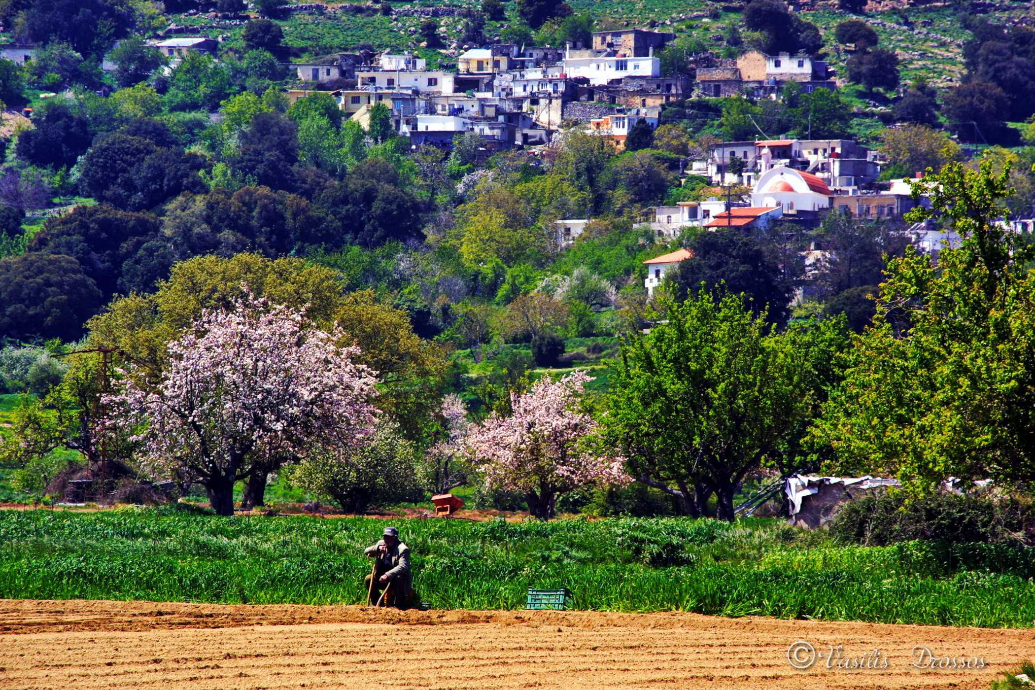
The village of Magoulas was one of the first villages to be inhabited on the Plateau and is the highest village in the area, since its last house is at an altitude of over 900 m. It is one of the most beautiful villages of the Plateau, as the whole village is built among trees and there are groves around it. It also offers a panoramic view of the Lasithi plain. In Magoulas, Minoan tombs were recently found on the outskirts of the village. A rural road passes through the village which leads to the beautiful valley of Kloros, which was formerly cultivated by the inhabitants of the village and produced a variety of agricultural products, such as almonds, wine, wheat, etc.
Name and Historical Data
Regarding the toponym of the village, everything shows that it probably came from the morphology of the location, as it covers the entire side of a hill, which clearly resembles a human cheek. In addition, in 1583 it was mentioned as Magula Mettocchio by the historian Castrofilaca (K 104) in the temporary settlements of the province of Lasithi, but he did not mention the number of inhabitants. The historian Basilicata listed Magula Metochio with 15 houses (Monuments of Cret. Hist., V, p.28) which was larger in comparison to the other settlements. In relation to the other metochia, it was larger. The historian Basilicata listed Magula Metochio with 15 houses (Monuments of Cret. Hist., V, p.28) which was larger in comparison to the other settlements. Venetian documents refer to the first settlements of the province as “metochia”, because Venice forbade the permanent residence of the tenants of the estates of the province, which belonged to the Venetian public, and did not allow the construction of permanent residences. (See S.G. Spanakis, Contribution to the history of Lasithi, etc.).
In the Turkish census of 1671, it was mentioned as Magula with 9 families (N. Stavrinidis, Translations, B’, p.136). In the Egyptian census of 1834, it was mentioned as Maghula with 25 families (Pashley, Travels in Crete, II, 321). Turks did not live in Lasithi.
Population trend according to the censuses:
| Census | Population |
| 1881 | 161 |
| 1900 | 143 |
| 1920 | 130 |
| 1928 | 201 |
| 1940 | 223 |
| 1951 | 208 |
| 1961 | 152 |
| 1971 | 121 |
| 1981 | 111 |
| 1991 | 113 |
| 2001 | 94 |
